
Madeline Island Trails
/by Marnie Sanborn Myhre, 2021

The MIWP’s charter describes us as “a non-profit land trust dedicated to the protection and preservation of natural areas on Madeline Island for everyone's enjoyment.” Even though we spend much of our time and energy working to “protect and preserve,” we view our Island wilderness as a community asset to be enjoyed by Island residents and visitors alike. In fact, during this past year of global pandemic, our lands and trails have offered much needed solace to many.
Local residents reported more use of our trails this past fall and winter than ever before despite the record low snowfall totals on the Island. Summer visitors flooded the Town Park and Big Bay State Park to the point that parking lots overflowed. With more people seeking refuge in the natural world, we are working hard to make our trails accessible and enjoyable, and we continue to dedicate time, energy, and resources to maintaining and improving our trail network.
Toward that end we have begun partnering this winter with the new Madeline Island Trails (MIT) organization to help us improve our trails and encourage their use and expansion. That organization was created out of a need to maintain xc ski trails after long-time xc ski trail boss Keith Sowl and his wife Carol moved off the Island just over one year ago.
The purpose of Madeline Island Trails expanded when some younger Island residents came forward to promote the possibility of creating a “thru-trail” hiking trail from town all the way to the north end of the Island. With our trail system already offering hiking trails on so much of the Island, we became natural partners in the work of creating a better trails experience for everyone.
As an example of our recent trail work and goals going forward, last fall we cleared the Nucy Meech trail of overgrowth that had made the path impassible and created a new trail loop we’re calling “Fisherman’s Loop” which skirts the wetlands by the airport. It added a winter xc-ski option for those living on the south end of the Island. And although our trails are currently well marked with red dots on trees to help hikers stay on the trails, we are planning to update our trail maps later this year to help hikers and skiers navigate the system. We will be replacing/repairing some bridges later this spring and are hoping to experiment with some boardwalk structures to promote use and enjoyment of the wettest areas of select trails.
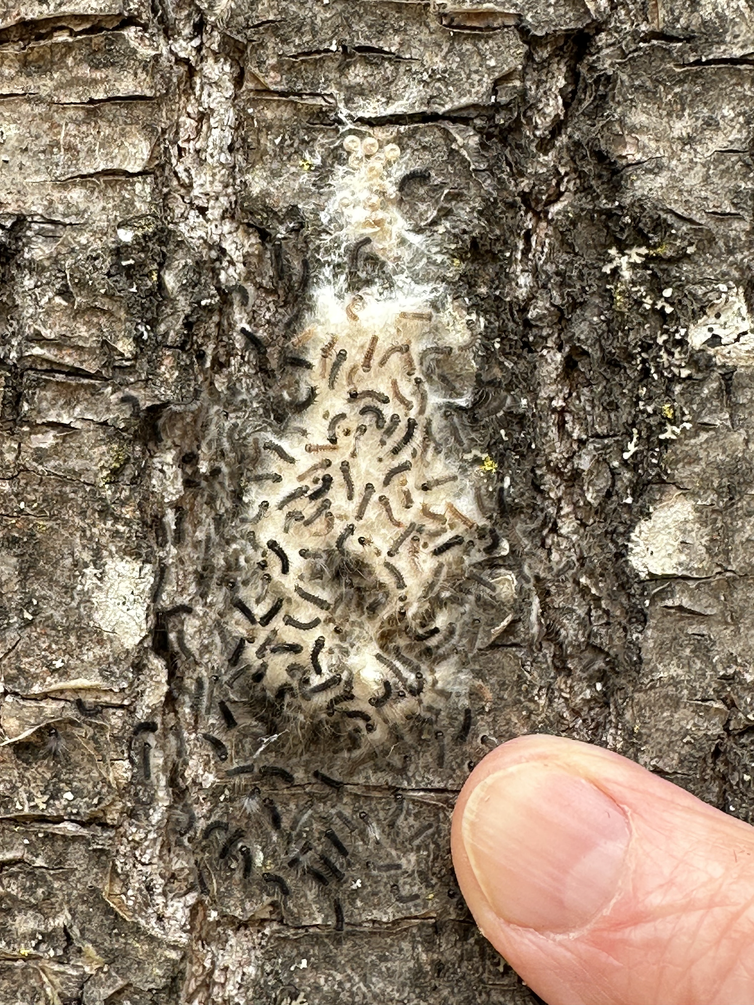
We are excited for the return of summer residents and visitors who will explore our lands hiking, birdwatching, gathering mushrooms, along with all of the other activities that our woodlands have to offer.